Relatively familiar with the section of St. Lawrence River between the
Eisenhower and
Iroquois Locks, yet had never heard of the "
Copeland Cut" portion of the Seaway Channel.
 |
The Wiley Dondero Canal
Bypassing the old system of locks and canals
between Farran's Point and Cornwall.
|
Not visible from the Canadian side, the "
Copeland Cut" is located in the "
Wiley Dondero Canal".
 |
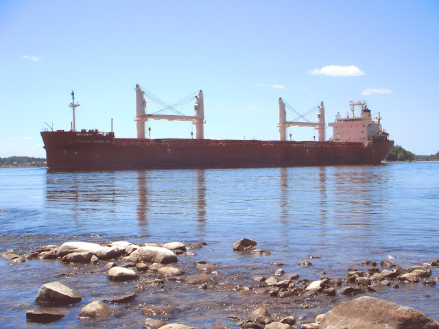
Saltwater vessel BBC OREGON
heading down the Wiley-Dondero Canal
|
This straight cut between "
Cat Island Shoal" and
Eisenhower Lock became
the modern-day shipping channel in 1959 with the flooding of the Seaway.
 |
The report mentions "Copeland Cut" as "avoid-meeting area".
|
Originally stumbled upon "Copeland Cut" while reading about the collision between two familiar
vessels: CAPT. HENRY JACKMAN (1) and QUEBECOIS (December 17, 2008).
The actual incident
between these two vessels occurred in the Beauharnois Canal in Quebec.
TSBC report:
http://tsb.gc.ca/eng/rapports-reports/marine/2008/m08c0081/m08c0081.html"Crosscurrents in the Copeland Cut Reach of the Wiley-Dondero Canal make
navigation
difficult during periods of high flow with accompanying low water
levels.
The problem area is located in Lake St. Lawrence approximately 3
miles west of Eisenhower Lock . "
https://hdl.handle.net/11681/10668
The area is also mentioned in the Government of Canada Sailing Guide from Montreal to Kingston.
"Currents, Wiley-Dondero Canal – Crosscurrents
with velocities to 2 knots have been reported in the WileyDondero
Canal. These currents set NE along the lower end
of the Long Sault Islands and ESE at the upper end of the
islands."
https://www.charts.gc.ca/documents/publications/download/SD/CEN301Eng.pdf


